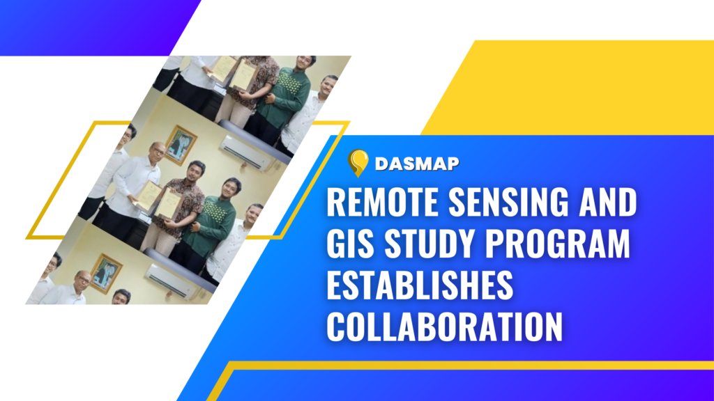
Padang – The Applied Remote Sensing and Geographic Information Systems Undergraduate Study Program confirmed a collaboration agreement with PT. Das Map Indonesia, a company in the applied geospatial field that focuses on the use of artificial intelligence to produce geospatial information on Thursday (16/11/2023).
Collaboration Agreement
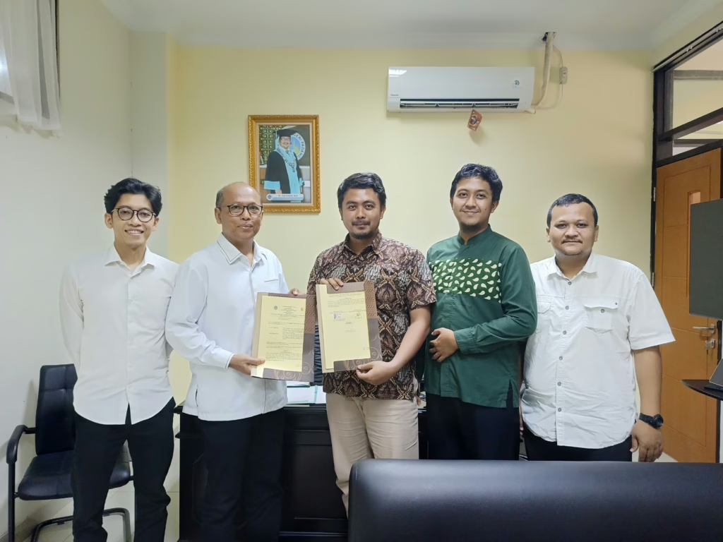
A written information received by UNP Public Relations on Tuesday (5/12/2023) reported that the focus of the collaboration is on implementing the vocational link and match policy which covers developing a teaching factory, industrial internships, sharing knowledge on applied geospatial developments, developing a curriculum-based industry and industrial lecturers.
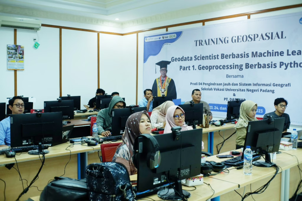
A Machine Learning-based Geoprocessing by Using the Python Programming Language
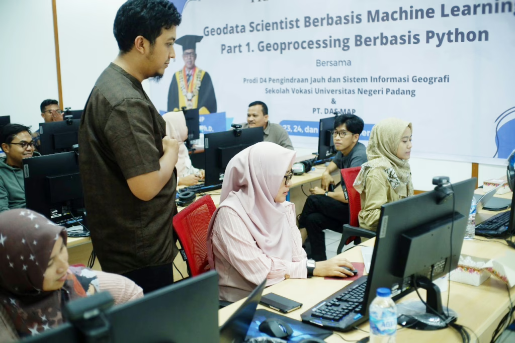
As a follow-up to this agreement, geospatial workshops and training activities were conducted on 23-27 November 2023 with PT. Das Map Indonesia and study program lecturers under the theme “A Machine Learning-based Geoprocessing by Using the Python Programming Language”. It aimed to improve lecturers’ understanding and mastery on applied technology, in accordance with the needs of industry which is increasingly adopting artificial intelligence in geospatial technology.
Artificial Intelligence in Geospatial Technology
In 2024, the activities will continue with a workshop on deep learning and building a geospatial cloud computing system for advanced applied spatial analysis. Moreover, other aspects of collaboration, such as teaching factory, industrial internships, and joint projects involving human resources of UNP will begin to implement.
UNP Vocational School and Dasmap fully support efforts to develop graduates’ competencies in applied geospatial fields to meet industry needs. This reflects their commitment to advancing education and technology in remote sensing and geographic information systems.
source : Humas UNP – Siti Sarah